

By
Lt Gen (R) Sardar Hasan Azhar Hayat
MD Pakistan Land Port Authority
Ex. MD Green Tourism Pvt. Ltd
Such are the times that whenever I tell someone I am in Balochistan, the instant reply is: “Be safe!” This is what we hear most often in the media and on social platforms. But may I ask—how many have actually experienced Balochistan firsthand and seen the situation for themselves? Perhaps it seems too far to explore, but my sincere suggestion is: go and see it—because seeing is believing.
Yes, security concerns do exist, but that is not the whole story. Over the years, I have visited Balochistan multiple times and have always found it to be an amazing land, rich in history and culture deeply embedded in its traditions. Although I was here for work, the weather gave me some spare time, and I decided to explore and write—not as a professional, but as a common traveler.
As you land in the wilderness at Gwadar Airport, you are greeted by a surprisingly large airport building. It reminded me of my days in China, as the design resembles some Chinese architectural styles. I would say it is big, though not as massive as often projected. On my previous visit, I had seen the area with hardly any development—but now, everything appears functional.
The first question that comes to mind is: how many flights operate to Gwadar? To my surprise, there are only three flights a week from Karachi. Locals may know this, but much of Pakistan does not. The airport is clearly underutilized. Ideally, there should be at least one flight each from Quetta, Islamabad, and even Oman to begin with. In time, Gwadar could attract transit traffic from Southeast Asia and beyond. Given the evolving dynamics in the GCC, Gwadar presents a strong opportunity—especially with its port, which is yet to reach its zenith despite immense potential.
After a brief meeting with our host, we headed towards the Gabd Border Terminal with Iran. Passing through Gwadar city, I noticed newly constructed houses belonging to affluent residents, including people from Karachi. Interestingly, there are hardly any mud houses—most are well-built concrete structures.
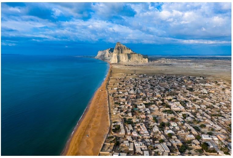
Gwadar still feels like a typical fishing town—perhaps now a small city—but I would still call it a town. The people are laid-back, embodying the charm of a classic seaside community—easygoing and content. They love spending time by the sea. I was told that during the construction of the East Bay Expressway, locals protested because it obstructed their access to the sea. As a result, underpasses were built to ensure they could continue their connection with the water.
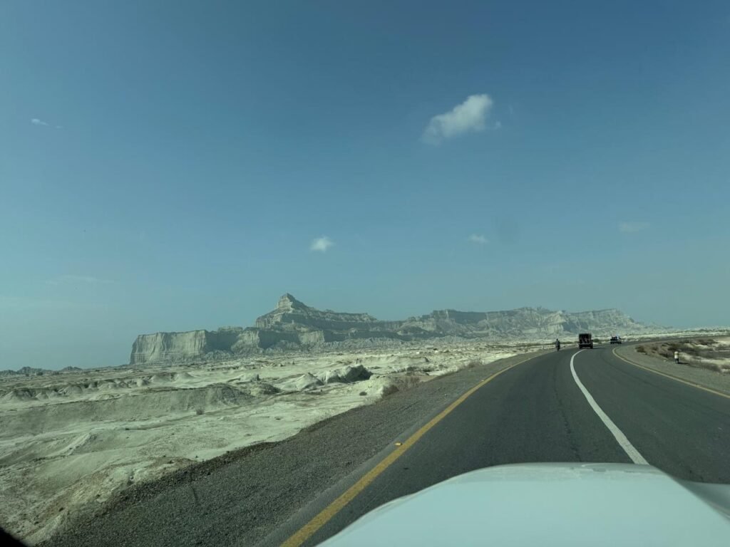
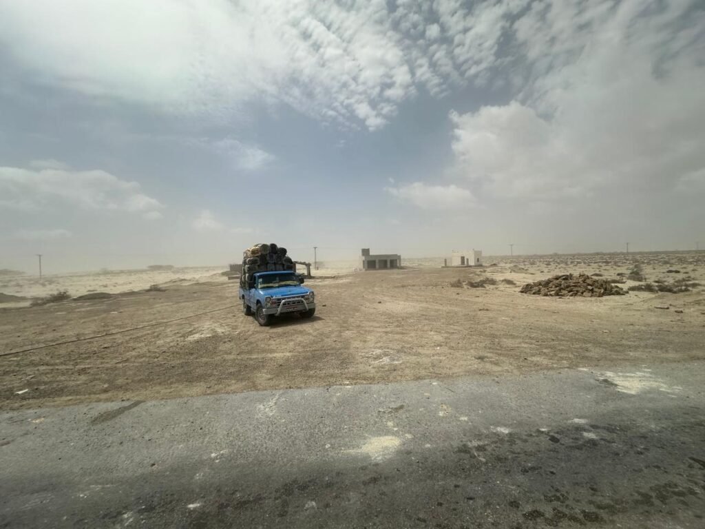
Driving along the expressway, surrounded by stunning mud canyons, we entered the 80-kilometer Gabd Road, which leads to the Iranian border in about 1 hour and 15 minutes. With the sea to the south and the Siahan mountain range far to the north, the vast desert in between creates a striking landscape.
Beyond the city, we saw traces of abandoned housing schemes—likely early speculative projects that never materialized. Along the way, we encountered blue pickup trucks carrying fuel containers, locally known as Zambad. These mostly transport fuel from Jiwani via sea routes. While fuel imports from Iran have reduced, a limited quota is still allowed for local sustenance.
Standing there, I reflected on the geography: 800 km from Karachi, 40 km from Iran, 7 km from the sea, and 144 km from Chabahar. It seems impractical not to utilize trade, fuel, and electricity from nearby Iran when supplies must otherwise travel over 1,000 km. However, such systems need proper regulation—as has been done with electricity integration into the national grid.
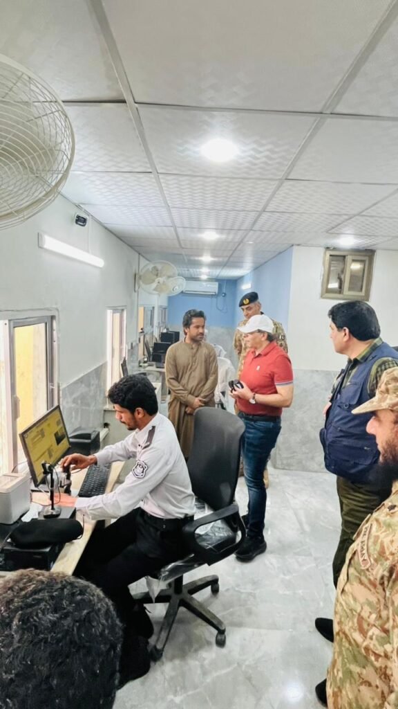
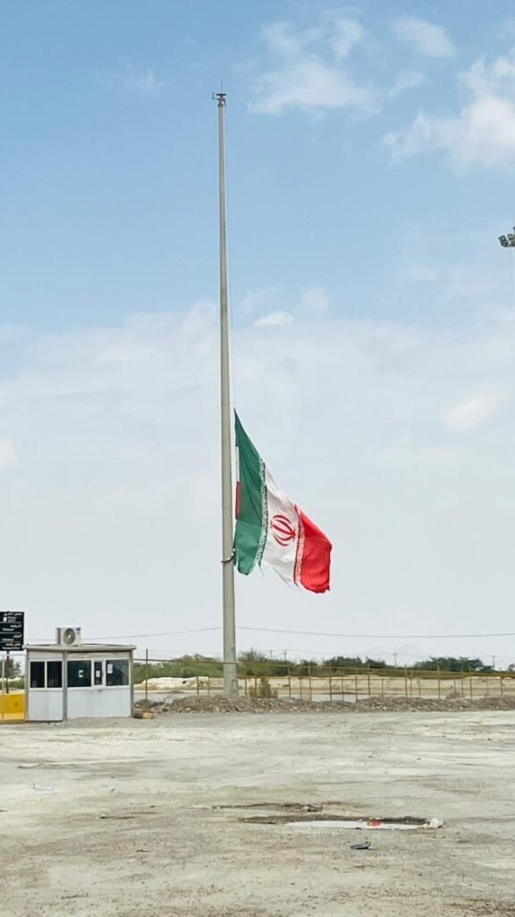
Entering Gabd, a typical border village, we saw the Iranian flag at half-mast. My immediate thought was appreciation for Pakistan’s decision to stay away from regional conflicts. Despite being close to global hotspots like the Strait of Hormuz, life on the Pakistani side continued normally.
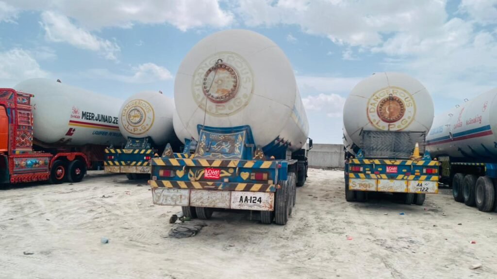
Hundreds of LPG vehicles were parked, initially suggesting disruption due to conflict, but later I learned it was due to flood damage to a bridge. The crossing remains active for both people and trade, though the infrastructure is basic. Given its distance—about 1,400 km from Quetta and nearly 2,000 km from Islamabad—it is understandable why it receives limited attention.
Despite this, the economic potential is enormous.
On our return, my host—recognizing my interest in history and tourism—took me to explore Gwadar’s heritage. Historically part of Makran, this region dates back to 4000 BCE. Gwadar’s strategic location has kept it relevant through various eras—from Achaemenid and Greek conquests to Islamic and colonial periods. Pakistan formally acquired Gwadar from Oman in 1958.
Gwadar, meaning “Gateway to Winds” in Balochi, carries deep historical significance that must be preserved.
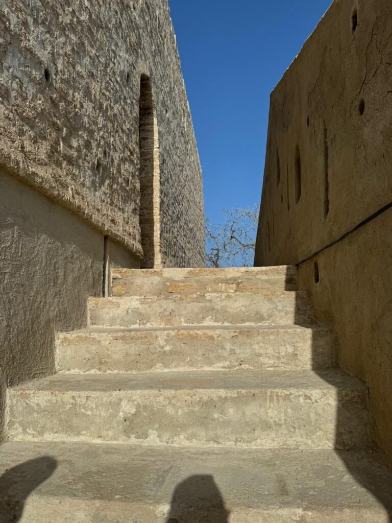
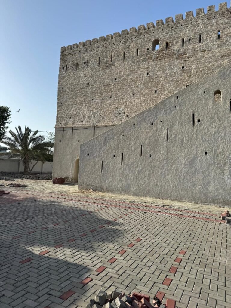
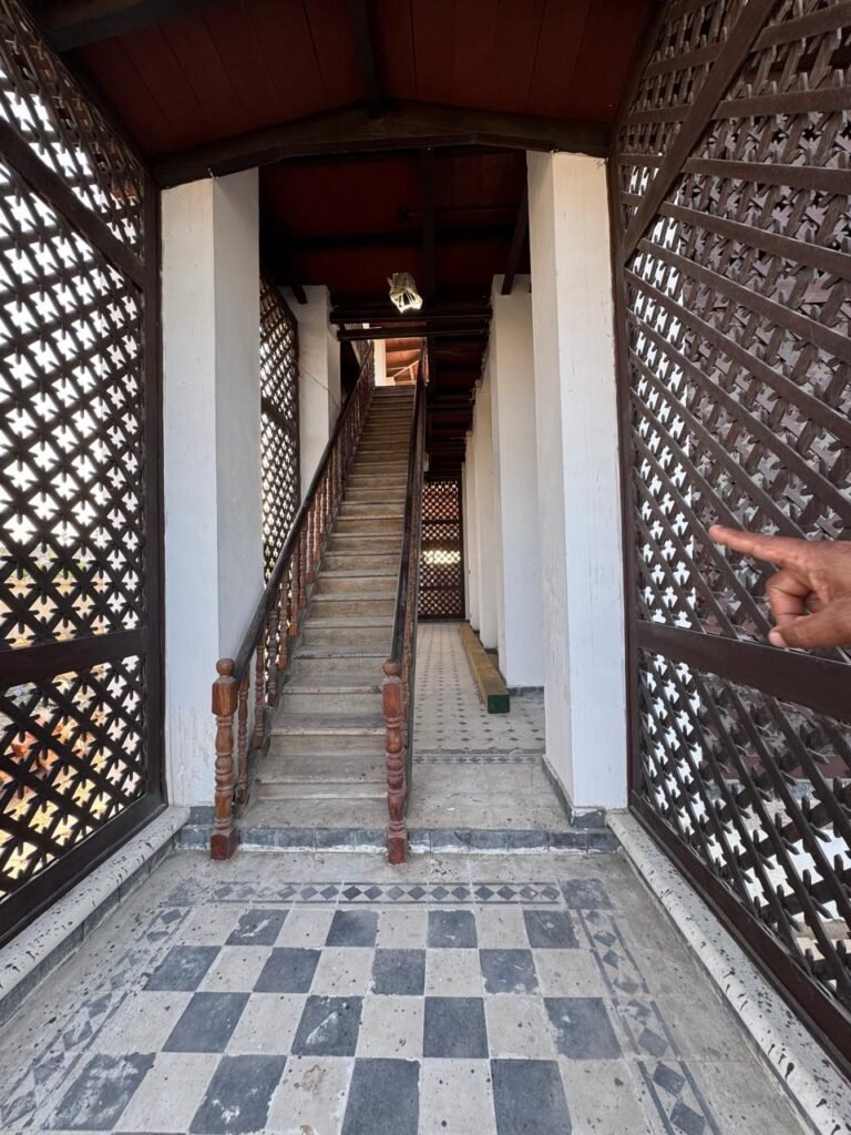
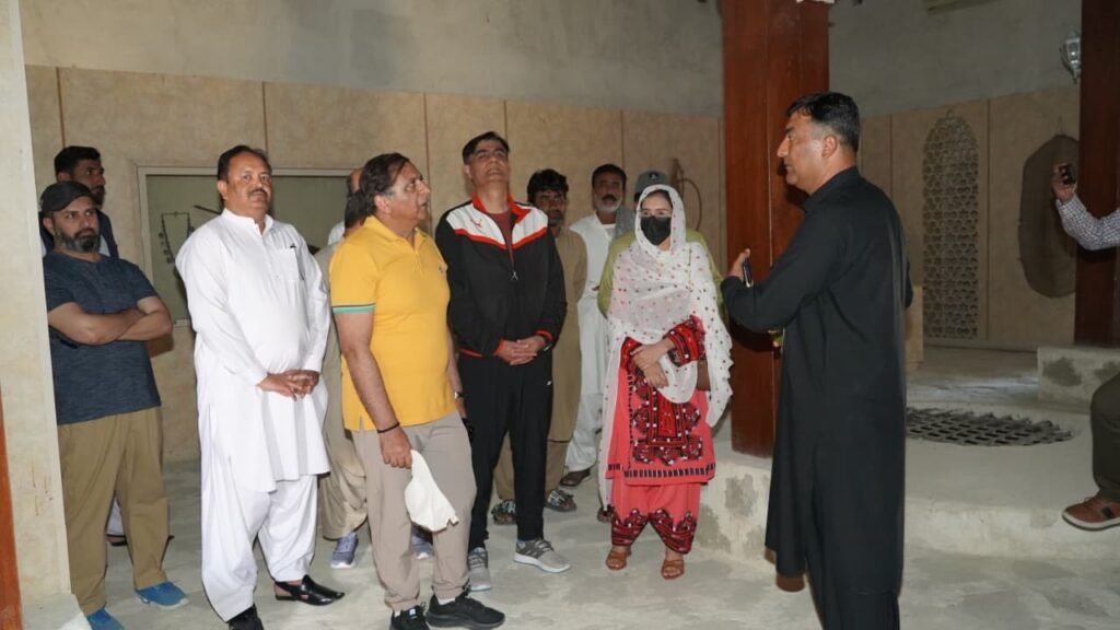
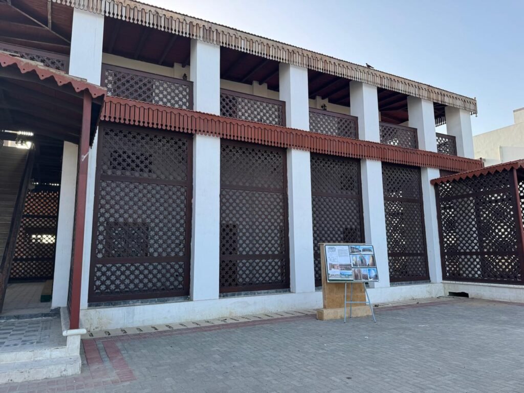
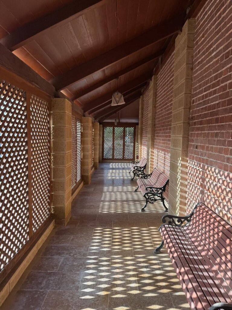
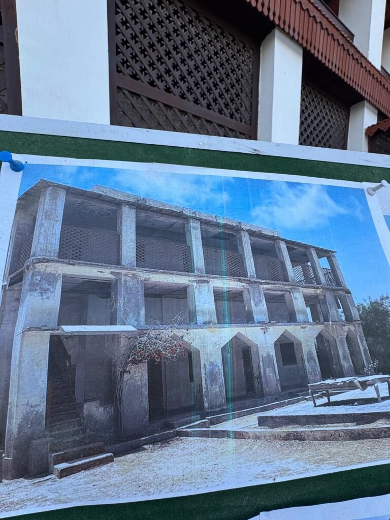
We visited several heritage sites, including the Omani Fort, Indo-European Telegraph Office (built in 1860), Char Padago, and the Portuguese Tower. Each site tells a story—from colonial communication networks to maritime defense systems. With proper restoration, these could become major tourist attractions.
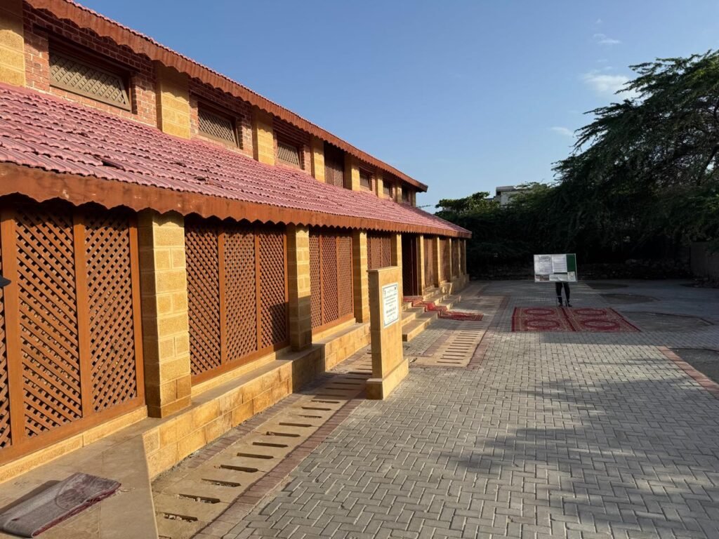
One particularly fascinating area was the old town, where an Ismaili Jamat Khana, a mosque, and a Hindu temple coexist in close proximity—reflecting Gwadar’s pluralistic heritage. Walking through its narrow streets, I saw immense potential for developing a cultural tourism hub with cafés, artisan shops, and walkways.
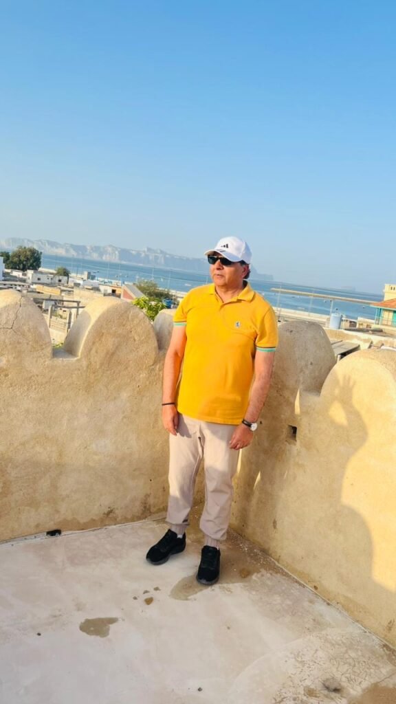
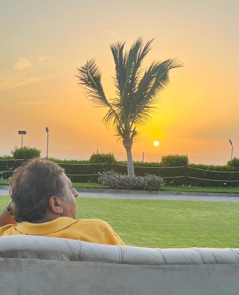
As the day ended, we watched the sunset—one of Gwadar’s simplest yet most powerful attractions. Whether at Marine Drive or the historic Jinnah Lodge, the view is unforgettable.
Though this account is lengthy, much remains unsaid about Makran. We often find excuses not to visit Gwadar, but perhaps it is time to change that mindset. My suggestion to the tourism department is to create a complete tourism ecosystem—engaging tour operators, improving connectivity, and promoting local experiences.
I end with the same question I began with: how many of us have truly visited Gwadar?

 2026")
 2026")