
By
Lt Gen (R) Sardar Hasan Azhar Hayat
MD Pakistan Land Port Authority
Ex. MD Green Tourism Pvt. Ltd
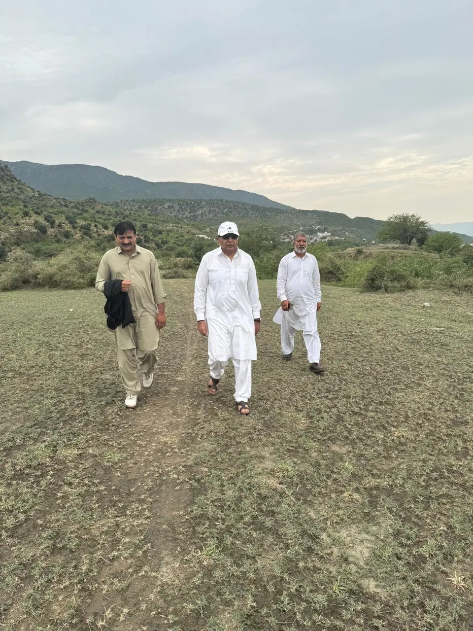
Since my retirement, I have taken on some projects myself, and one is a family tree of the Khattars of Wah, which I am! It has now been almost two years, as the family has massively spread, almost covering the complete globe. Unlike a traditional family tree, I have included females, which has doubled my work but has also made it more interesting. I am almost done but was confused about the genealogy at the top, so I was searching for people who could help. A local historian and book collector, Raja Noor Muhammad Nizami, had given me the reference of Muhammad Imran Khan Khattar from Bagh Nilab. I had been in touch with him since winter, but it was time to meet, as my family tree was nearing completion.
It rained yesterday! Sitting in my study, I contacted Imran and asked if he could show me Bagh Nilab, the gateway to the subcontinent (details later), and exchange work, as he is working on a book that includes the Shajra of the Khattars. He said, “I will be happy to receive you!” I waited for a colleague who works on the project with me and had to come from Rawalpindi, and by noon we set off to meet Imran in Bagh Nilab.
As we crossed Cadet College Hasan Abdal towards Peshawar on the GT Road, it reminded me of our journeys to Peshawar since childhood and later, during my military life, to Nowshera. But before I explain that, I must mention that Wah village was the last village of District Attock, but during Ayub Khan’s era it was shifted to Rawalpindi to weaken the family’s political strength. The village was placed in Tehsil Taxila. I will sometime write about Wah, which is one of the most iconic historic villages in Punjab and has the honour of producing two prime ministers—one of undivided Punjab and the other of Patiala before Partition—as well as many other famous personalities. Interestingly, in appearance it is no less than any European village even today. To the north of the village, some lands and houses are still in District Attock and have a strong Khattar lineage to Attock. Even Hasan Abdal is a tehsil of Attock.
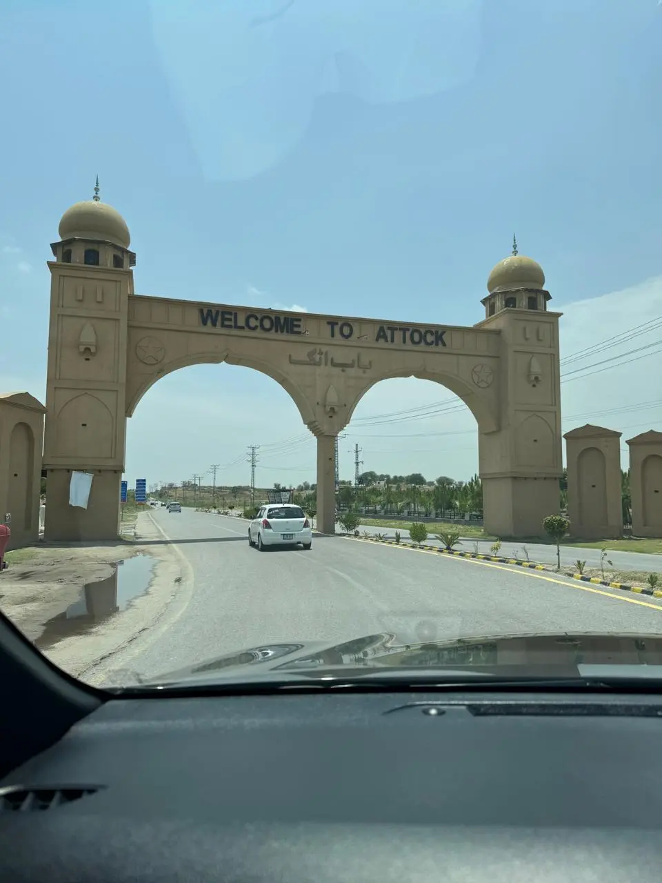
The GT Road has improved, and due to the motorway the traffic has reduced considerably beyond Hasan Abdal, while the Pindi–Hasan Abdal section remains the busiest and is a mess because of commercialisation. After crossing Haro and travelling for about twenty minutes, you have to turn left through the beautiful Bab-e-Attock gate onto a dual carriageway bypassing Kamra to reach Attock City. It’s hard to believe how this place has transformed. You can still see peanut fields stretching into the distance, but huge marriage halls and restaurants are also coming up. I was amused to see Kababjee from Karachi there.
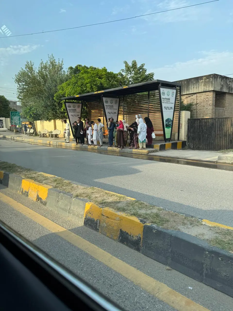
As we entered the city on the Attock–Kamra Road from a small, crowded bazaar, it had turned into a branded hub, extremely clean by Pakistani standards, with footpaths, neat bus stands with ladies waiting, and a good transport system. I also always appreciate Saf Suthra Punjab, which has helped keep our villages and cities clean. I always find them active! Sometimes I imagine what our hygiene would be if they were not at work, as socially we have not yet developed the habit of keeping ourselves clean.
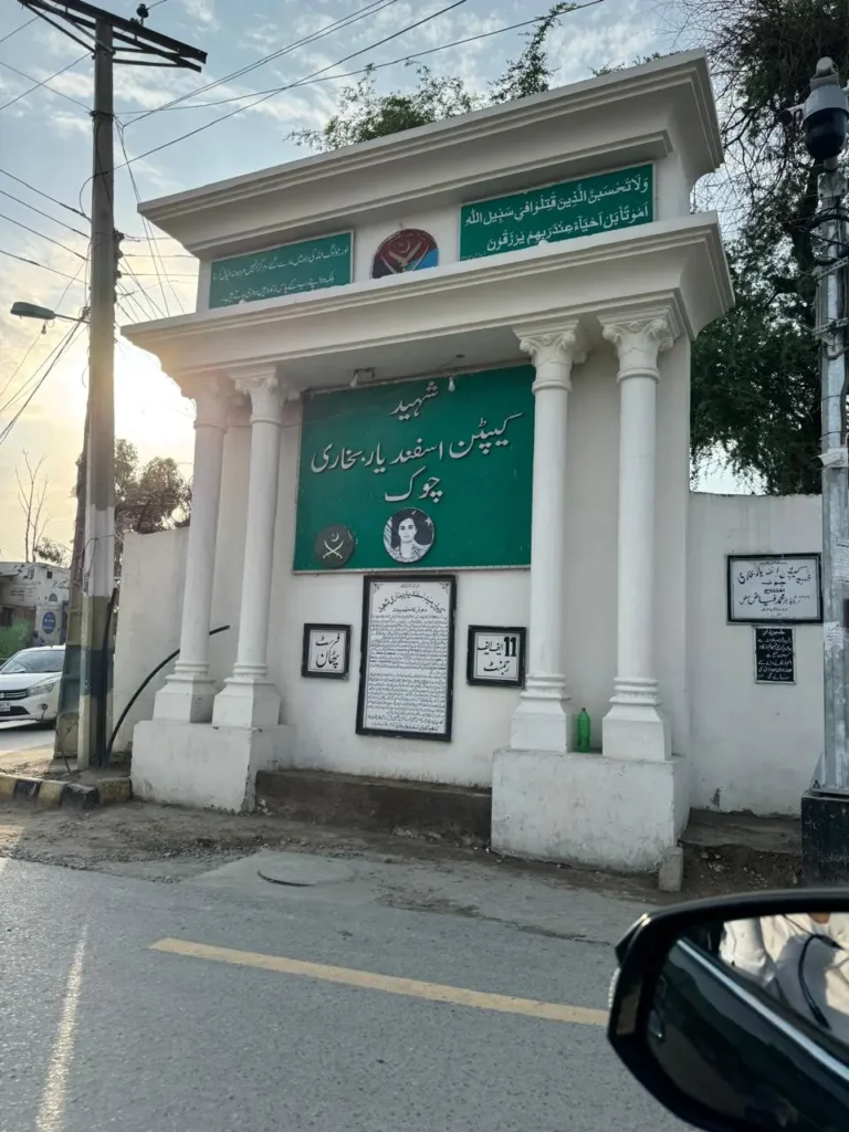
I also noticed that the city very proudly carried the name of Shaheed Capt. Asfandyar Bokhari, who was martyred in Peshawar while actively pursuing terrorists. I remember attending his Janaza, and the whole city had turned up! These are martial areas with martial races, and they take pride in it. Leaving Attock City on a small road turning north, called Choi Road, we reached the RV, which was Imran’s office at the Union Council of Sheen Bagh, where he works.
We stopped to meet him and had him jump into our jeep. A sturdy man in his early forties, he is passionate about his work on history. One could not resist asking what made him write about tribal history at this stage. His reply was that he had developed this passion in early childhood and had continued ever since. It is very rare to find such people who possess knowledge of land, revenue, history, different eras, personalities, and geography, with its linkages to anthropology, and, above all, who can write.
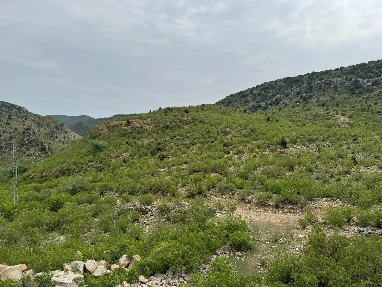
As we talked, we were heading towards the Kala Chitta Range, now visible in front of us, with the road twisting through a gorge and climbing into the dense forests of the range. My memory lane was stirred again, and I remembered my father coming here for shikar (hunting) and the famous incident when he was called by the locals to hunt a leopard that had become dangerous. The newspaper clipping with his photograph remained displayed in our ancestral home. This was not my first visit to Kala Chitta, but it was my first to Bagh Nilab. As we neared the village of Basal, we turned onto a newly built road towards the east leading to Bagh Nilab.
There was hardly any population, and the kikar forests became denser. The Kala Chitta Range is now recognised as the Attock Kala Chitta National Park and spreads over around one lakh acres of land, famous for its biodiversity. Due to the sensitive nature of the area, it remains lush green with local araucaria and wild olive trees. It protrudes into Potohar from the northern ranges, and its highest point is around 2,700 feet.
Like every high place, it also carries a story of love and loss—that of Rani Tarot and Raja Rosulu. When the prince was beheaded, she committed suicide, an act known as Tarot in our language, hence the name Rani Tarot. I intend to visit the site, as it seems to be an interesting climb. The landscape is beautiful and bears a resemblance to North and South Waziristan.
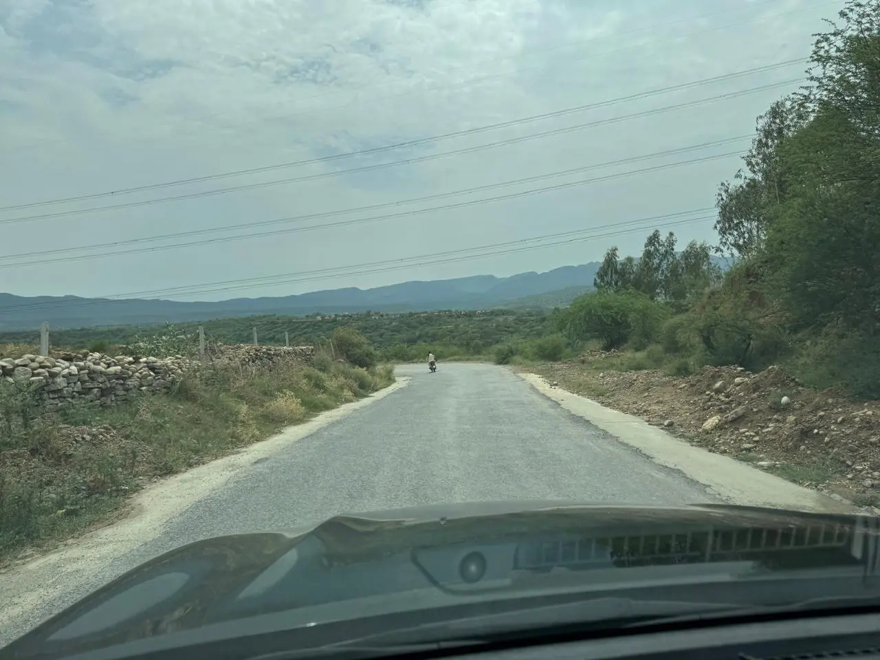
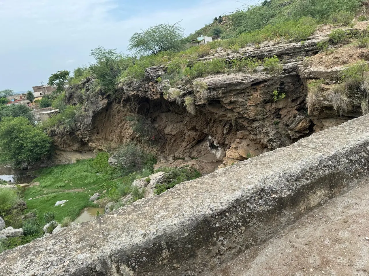
For those who do not know, the Kala Chitta Range is internationally famous for the Kuldana Formations, which are rich in fossils. I do not want to sound boring, but these formations are considered to date back to the Eocene or Pre-Eocene period. For a layman like me, that simply means millions of years ago. Many researchers are working on the Kala Chitta Range, and numerous studies have been published discussing the evolution of creatures such as whales, Pakicetus, and other prehistoric life. We know so little about our own country.
Travelling from Attock for about an hour, we entered Bagh Nilab. An isolated house stood away from the village, which Imran told me he had built for visitors and now uses as his home in Bagh Nilab. We were greeted by Imran’s father, Sajjad Khan, a tall, sturdy Khattar, who should be, Mashallah, in his seventies. He taught for 44 years and is now retired, proud of his two sons, the other of whom later joined us and works in the Forest Department.
An ardent shikari himself, I asked him about leopards, which in our local language we call Parla. He said they still exist, along with white deer and, of course, much more. The monsoon heat, the Kala Chitta forests on one side, and the mighty Indus on the other could all be felt, but inside, under the cooler, we comfortably talked about different eras.
Bagh Nilab is an interesting place. I have always personally felt that it is underpinned by history. This was the main crossing point for all invaders coming from Khurasan, now part of Afghanistan, Iran, the Central Asian Republics, and beyond. We are more inclined to Attock Khurd, which gained prominence because of the GT Road built by Sher Shah Suri, but the actual crossing point was Bagh Nilab. Here, the Indus calms down after its mountain rush, and at times the span is only a stone’s throw across. Boats could easily be anchored here for crossing, so from Mahmood Ghaznavi and Muhammad Ghori to Sher Shah Suri, Babur, and later emperors, all used Bagh Nilab to cross the Indus. It is mentioned in many historical writings.
Historically, it was a large settlement, almost like a city, and its main connections were either by waterways or through Kohat Dara. I recall my discussion with Professor Naqvi, an expert on the Indus and its use as a source of transportation.
This place has massive old graveyards. At my request, we later went to see them, which clearly shows how many civilizations have passed through this region. Interestingly, Imran told me that he had carried out some excavations and found coins and millstones from the Kushan period. He also said he had found a coin from the Alexandrian period, although Alexander himself crossed from Hund.
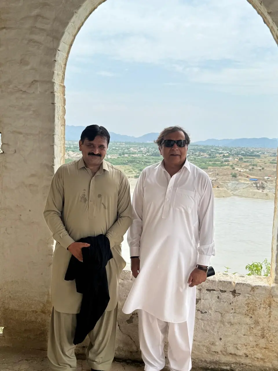
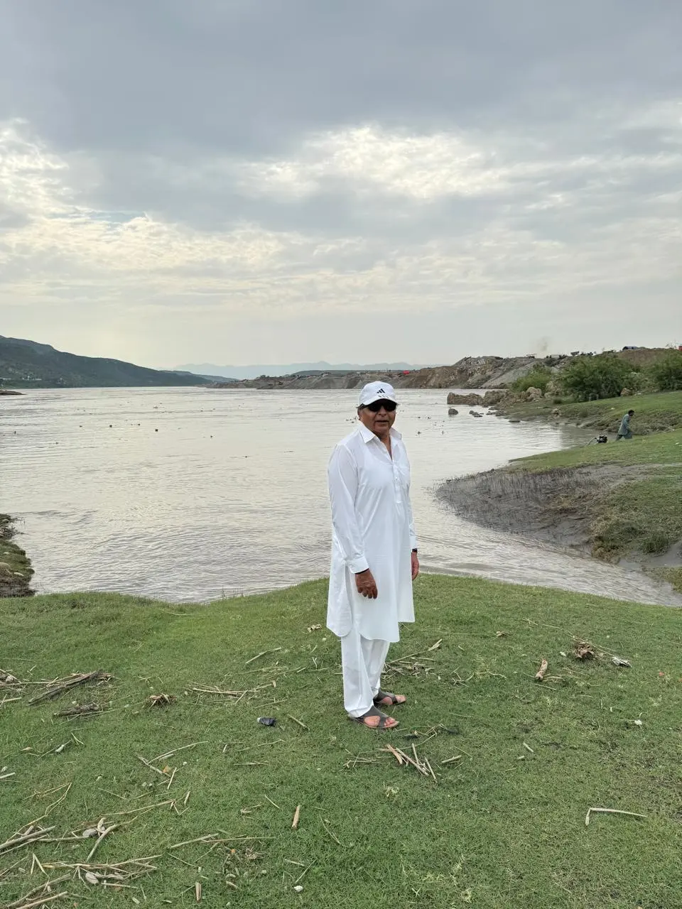
We travelled from Imran’s Dadi/Hujra to the village centre to take in the breathtaking view of Bagh Nilab. Neel means blue and Ab means water, so one can imagine the blue waters of the Indus, although we were there during the monsoon. Standing in the middle of the village, Imran explained that it lies at the junction of District Nowshera across the river, District Kohat, Jand, and Chhach.
I asked him about Ghora Tarap (meaning “a horse across”), the famous site associated with the battle between Genghis Khan and Shah Khwarazm. When Genghis Khan encircled Shah Khwarazm, he is said to have jumped into the river and escaped, upon which Genghis Khan remarked that fathers should be proud to have a son like him. I wanted to visit the place, but we left it for another trip, as due to the high water level of the Indus, it becomes submerged during the monsoon. It is about five kilometres beyond Bagh Nilab and was also an outpost of Sher Shah Suri.
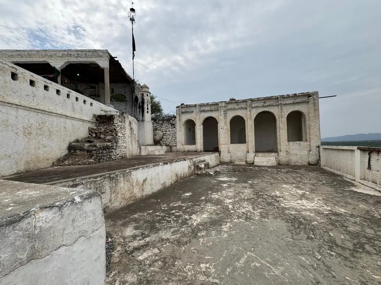
We now decided to climb to the famous shrine of Shah Abdul Wahab Bokhari, commonly known as Nuri Sultan. He belonged to the era of Emperor Babur and had strong linkages with the Khattars, as he was also the murshid of Neeli Khan, who is also called Khattar Khan. I am purposely not including details about the Khattars so that I can retain the readers’ interest in this travelogue.
There are many theories about the origin of the Khattars. One links them to Spain, from where one of the rulers, Abdul Rahman Khattar, migrated to Khurasan and later to Kala Chitta after the fall of the Abduls. Another theory states that they came during the Ghaznavi/Ghauri period from Kandahar, which I believe is only half the truth. I asked Imran, who has already undergone a DNA test (R-M198), which I am also about to undertake. His results showed an Indo-Iranian lineage with no close match anywhere in the world. I also believe they have been living here for 4,000 years or more, changing religions over time.
Another theory links them to the Qutb Shahi dynasty and to Hazrat Ali (RA). However, since Bagh Nilab witnessed three exoduses due to wars, they were pushed towards Khurasan and later returned during the time of Neeli Khan, though not to settle permanently. Instead, they spread to other parts of Attock and India, which is historically documented. I belong to the Ferozal branch. Similarly, the Khattars of Fateh Jang are the seventh generation from Neeli Khan, while my forefathers are the ninth generation, who established Jalalsar, now known as Wah.
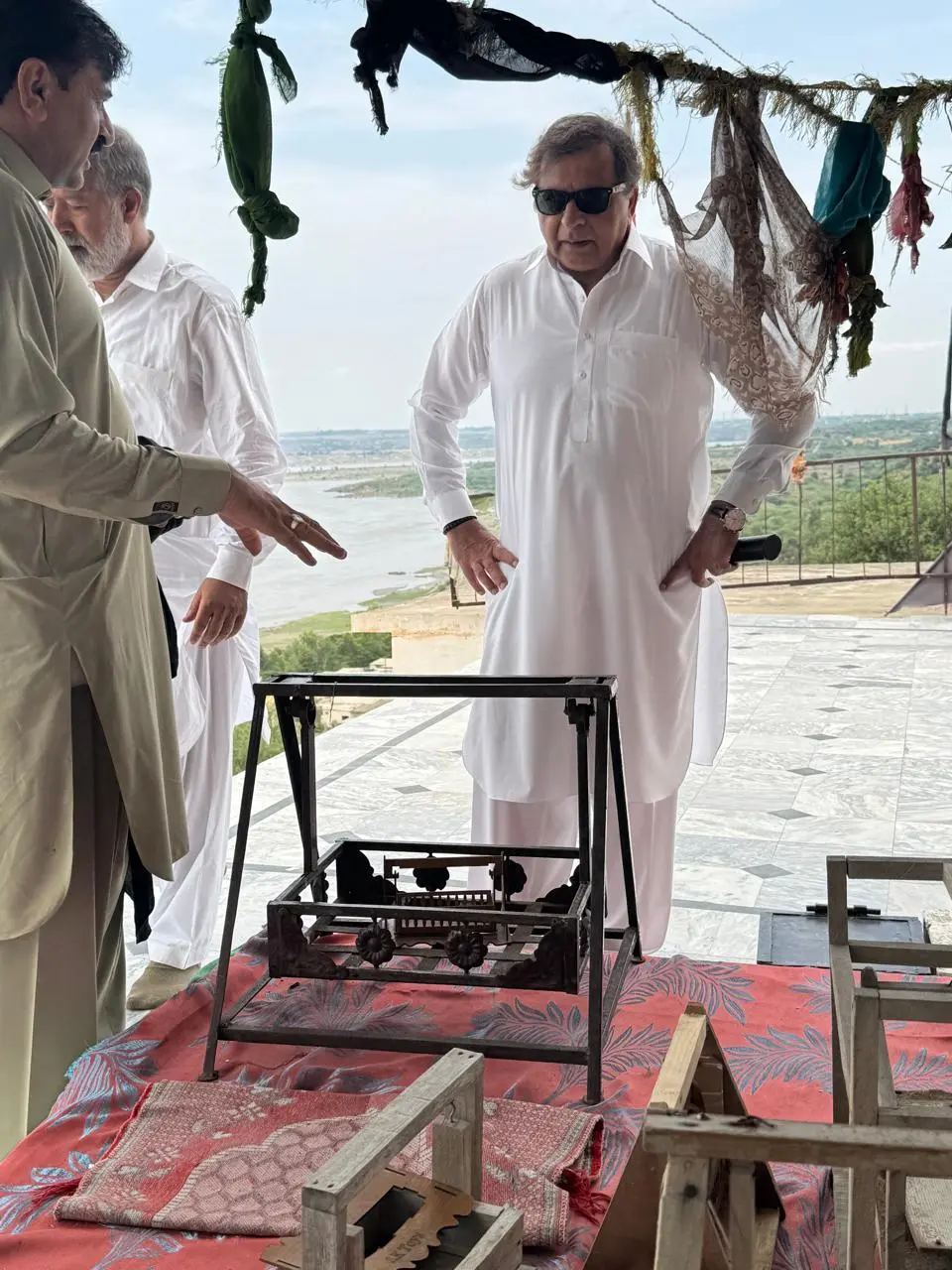
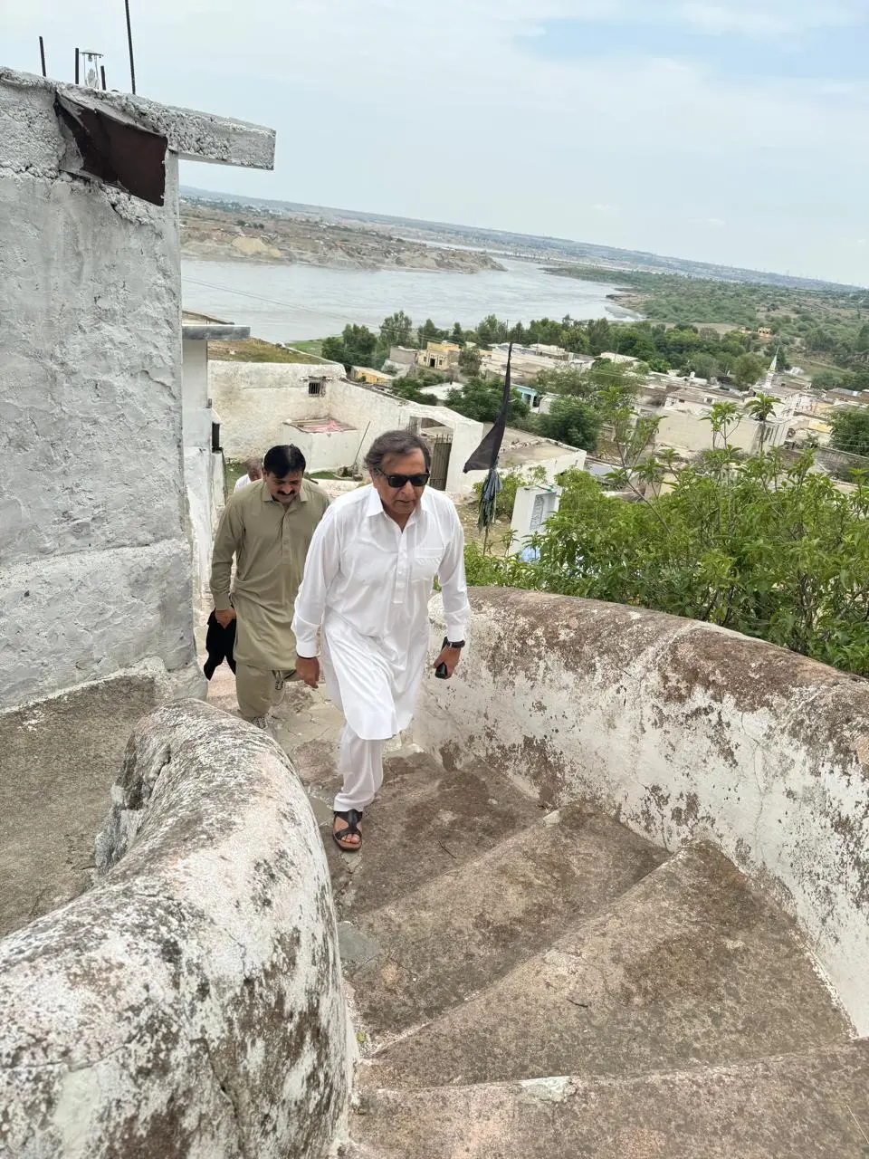
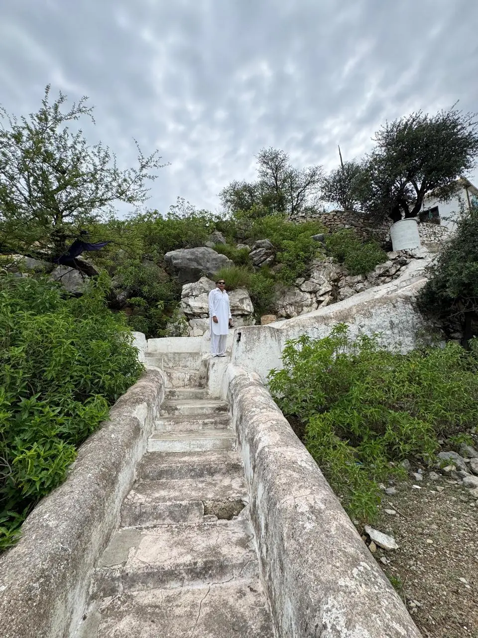
Anyway, we started climbing the steps towards Nuri Sultan. The shrine is situated on a height, and these steps, along with the small mosque that still exists, were built by Emperor Akbar. Nuri Sultan’s forefathers migrated from Uch Sharif to Balot, D.I. Khan, and later to Bagh Nilab. Those interested can read more about this, but he traced his lineage to Shah Abdul Wahab and is said to have been guided in a dream by Jalal-ud-Din Surkh Posh of Uch Sharif. Emperor Babur was a great admirer and later stayed with Nuri Sultan during his reign.
The famous spring that supplies water to Bagh Nilab is linked to Bibi Rakhi, the wife of Nuri Sultan, and still exists today. One of his sons is also believed to have guided Emperor Akbar in constructing the fort at Attock Khurd.
According to historical accounts, Nuri Sultan came to counter the Jogi movement, which had originated from Tilla Jogian. A Jogi had converted many people to Hinduism, and the place where he lived is still known as Jogian Wala in Bagh Nilab. Sufism and saints have always played an important role in our history.
The panoramic views of the river and the surrounding landscape are breathtaking. However, I must mention something disturbing. On the Khyber Pakhtunkhwa side, hundreds of excavator machines are working in the River Indus, extracting gold. The resulting noise pollution and environmental degradation are immense, apart from bringing lawlessness to this otherwise peaceful community. This is the situation all along the Indus.
A couple of weeks back, a relative of mine who owns land on the Indus in Makhad remarked, “Why doesn’t the government collect or buy the gold from these people? Pakistan would be able to pay back its debts!” Who are these people, under what law is this happening, and after all, if so much gold is being extracted, where is it going?
We returned to Imran’s house, and in spite of our request, food was served. The taste of the locally prepared meat, farm chicken, and fresh curd was amazing. We said goodbye to Imran’s father and headed towards Akbar’s Fort to see some petroglyphs along the River Indus.
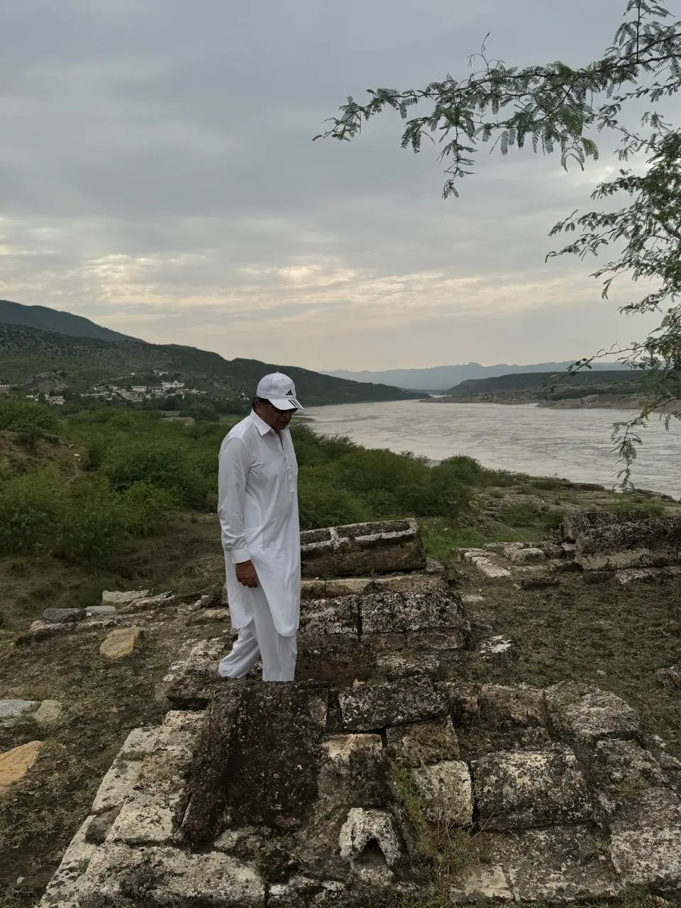
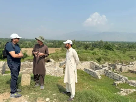
The kacha track ended, and we walked through the hot, humid afternoon in the kikar forest along the banks of the Indus. It took us about forty minutes to find the fort. It is almost on the verge of disappearing. I hope the Archaeology Department is able to restore it to an extent where it does not vanish completely.
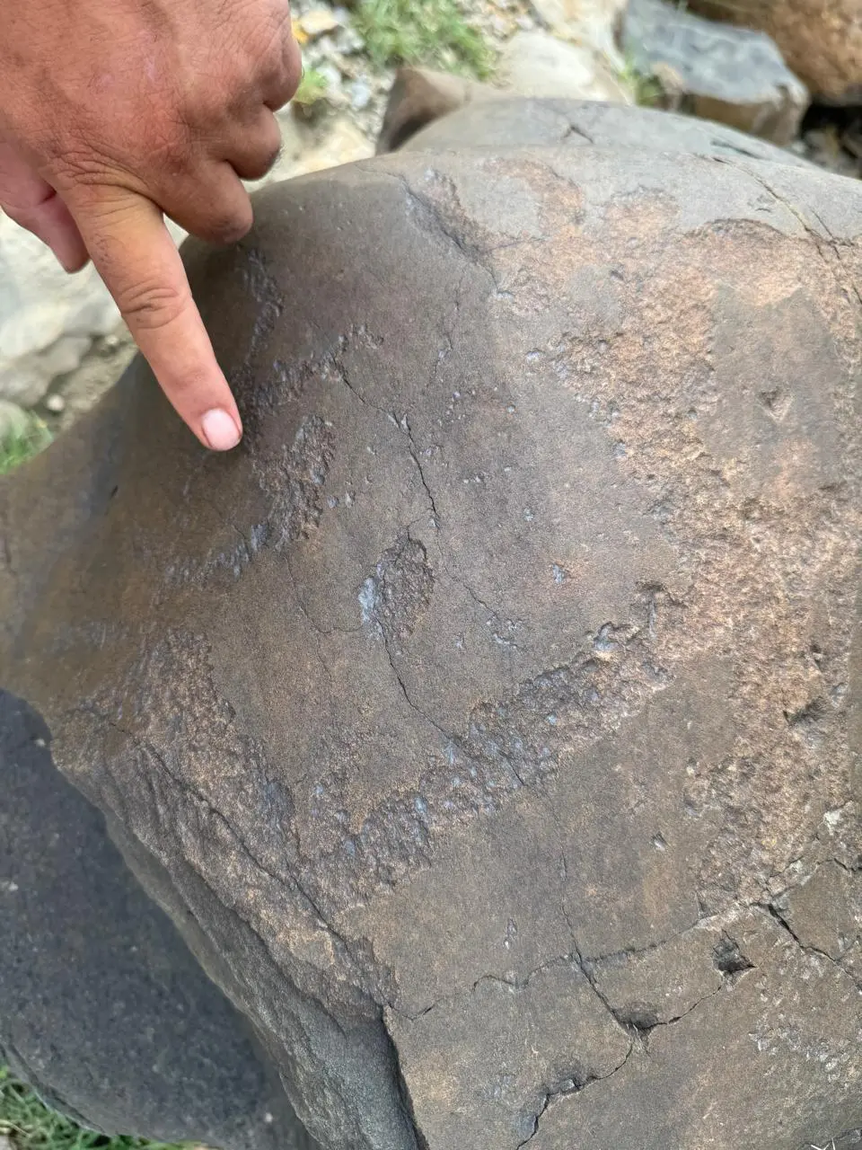
The area is large, and multiple graves are visible. We also located the grave of Neeli Khan Khattar. It then took us another forty minutes to find the petroglyphs. Around thirty are believed to exist, but we were able to see only two. Drenched in sweat, we had been out for almost two hours.
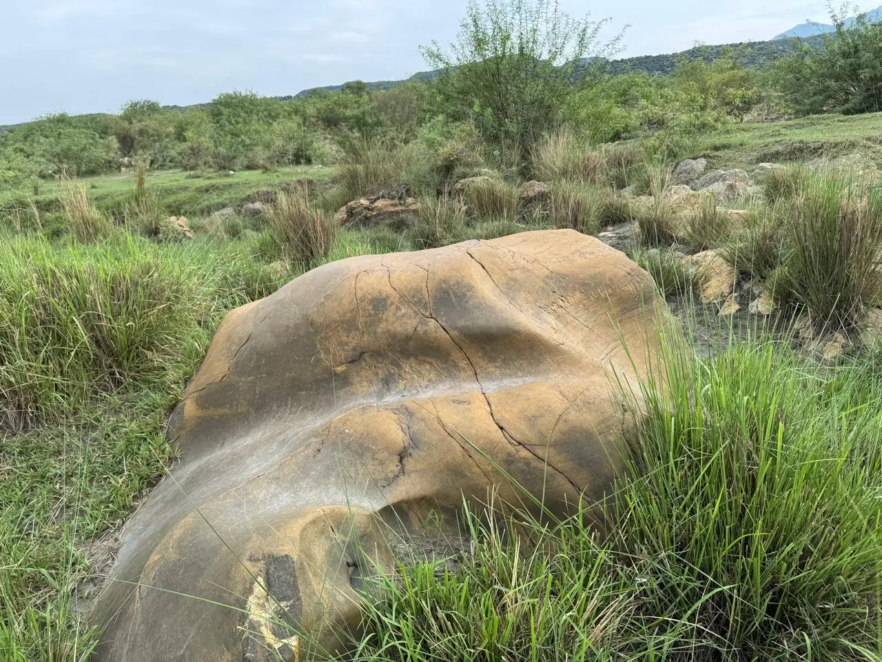
The stones are of black granite with prehistoric carvings. Imran, along with Dr. Zulfiqar Ali Kalhoro, an anthropologist, has made efforts to document them, but we are gradually losing this heritage. I wonder what their linkages are with the petroglyphs of Chilas or whether they represent an even earlier prehistoric civilization. This place remains out of sight of both the government and tourists, although some independent researchers continue their work here. I hope the government pays attention before we lose it all.
We said goodbye to Imran’s brother and set off for Attock. It was almost 5 p.m. Retracing our route, we reached his office at Sheen Bagh Union Council in Attock. He presented me with his two books, Indus Rock Art and Nilab-o-Khattar.
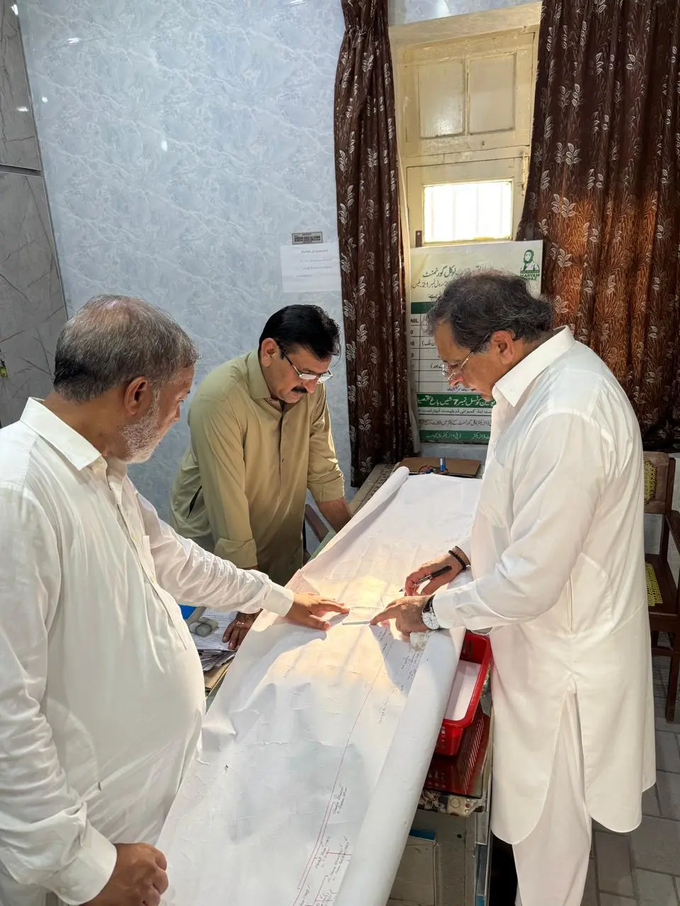
We discussed at length his work on his second book about the Khattars, especially the family tree. I also discussed my own family tree, and we exchanged information. We will provide him with details about Wah for inclusion in his book, and we fixed our next meeting at Wah, as many gaps still exist, particularly regarding the origins and the establishment of Wah from Bagh Nilab.
When I returned home and discussed the trip with my family, they had so many questions. I feel we have stopped discussing history because social media has taken over that conversation. Inshallah, I will return to Bagh Nilab. I am sure very few people would attempt such a visit in the scorching heat, but I thoroughly enjoyed it.