
By
Lt Gen (R) Sardar Hasan Azhar Hayat
MD Pakistan Land Port Authority
Ex. MD Green Tourism Pvt. Ltd
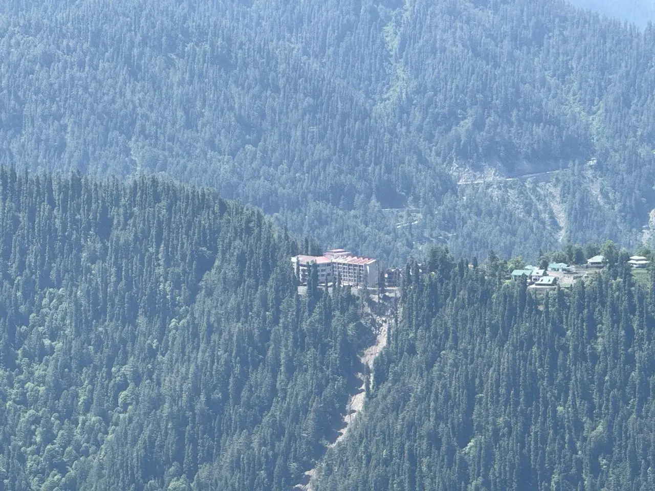
Nathia Gali is always a favourite with everyone! It has become too crowded though, you have to find right time to visit, my favourite time is October. But Eid ul ADHA is not bad as almost one finds it empty and you happen to see Nathia Gali intimately, it does depress you to see new construction, mostly very ordinary the only one positive has been Double Tree Hilton lately, a five star in Nathia Gali. I believe staying in Nathia Gali is not only about enjoying weather of the woodlands but also venture around and take some trails.
According to local folklore in Nathia Gali, Miranjani—the highest peak in the Galyat region—is associated with a beautiful couple who lived in the surrounding hills many generations ago.
It is said that the devoted husband and wife “Miran” and “Jani” spent their lives, who used to graze their sheep on the steep, sprawling heights of the mountain and where very caring and kind for travelers and shepherds crossing the forests. One stormy night, while helping lost visitors find safety, the couple disappeared into the mountains. Villagers believed their spirits became guardians of Miranjani, watching over those who journey through its pine-covered slopes. Though the tale exists in different versions, it remains a cherished part of local storytelling, reflecting themes of kindness, sacrifice, and hospitality in the Galyat region. I searched and asked people and all said will take 3 hours one way. I decided to go, it is 9872 ft highest in Galliat followed by Mushkpuri Top.
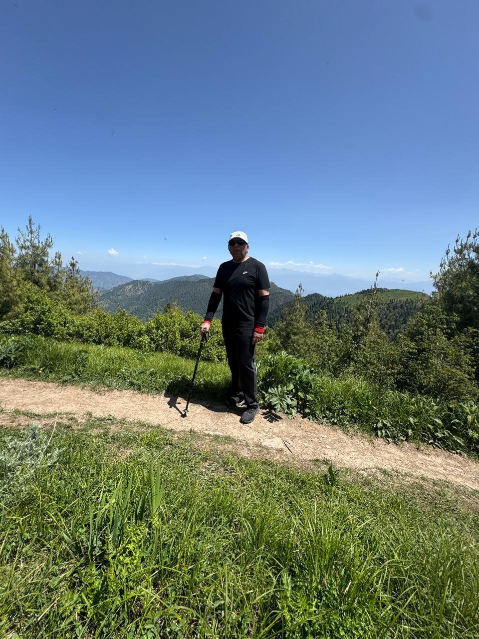
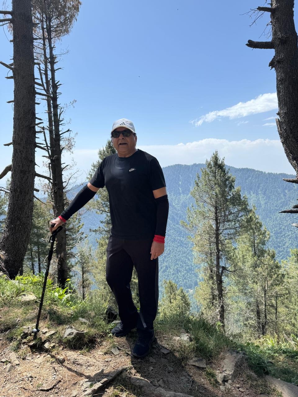
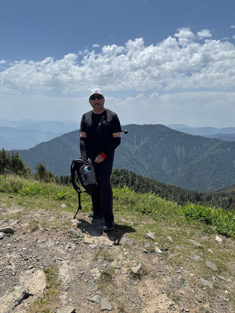
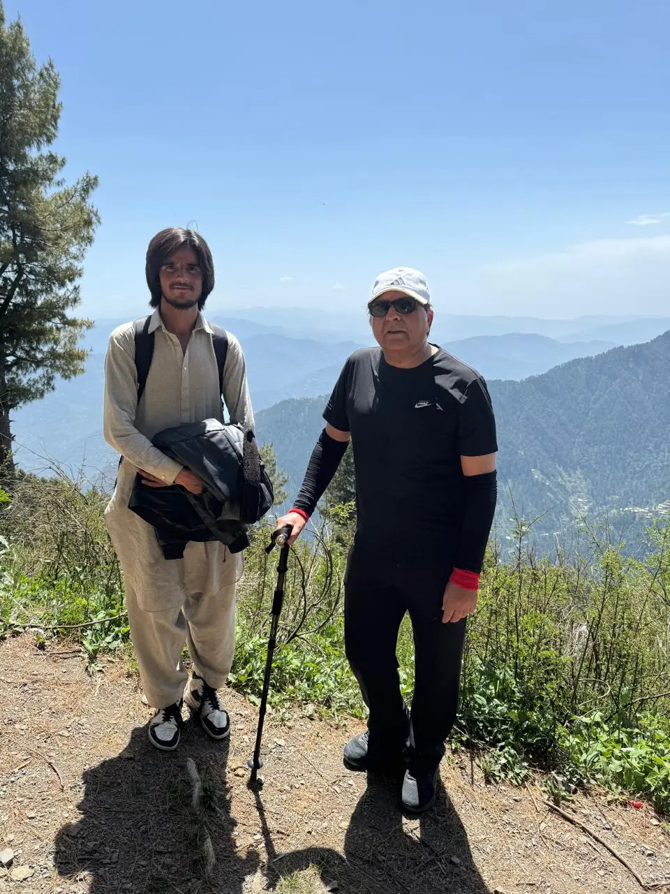
I set in morning to get to base of trail, anywhere from Nathia Gali takes 15 minutes below the famous Governor House to reach start point. On reaching there I found a gate of Davri Gali. Hardly a soul there at 9 in morning, usually I heard around 150-200 people climb every day. I found a young lad. I asked him if he was a guide he said yes, he takes horses and also acts as guide. I asked him the cost, for a horse ride costs 7k and for a guide 4k. I left him and started walking; suddenly it stuck my mind, after all in summer months this is his only earning and I told him if he is ok with 3 k and he came with us. Ahsan was a young guide of 19 years about 41 years younger to me! But in the end he also said age is numbers, I did not disappoint him in hiking. He said usually people take 3 hours plus to reach top, we did it in 1 hour 28 minutes and we’re back in less than 3 hours. Thanks to my MovenPick & Defence complex gym and trails in Islamabad, which has kept me fit. However I always thought we need to register these guides give them nice clothes, a pair of shoes in each season, an office and some benefit to collect garbage.
As part of Green tourism always wanted to launch this program ONLINE GUIDES, but who stops GDA to take this initiative.
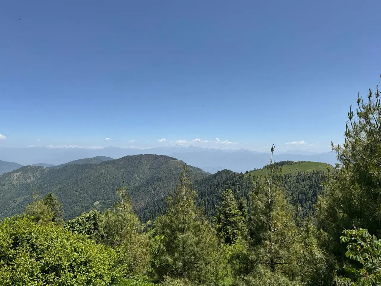
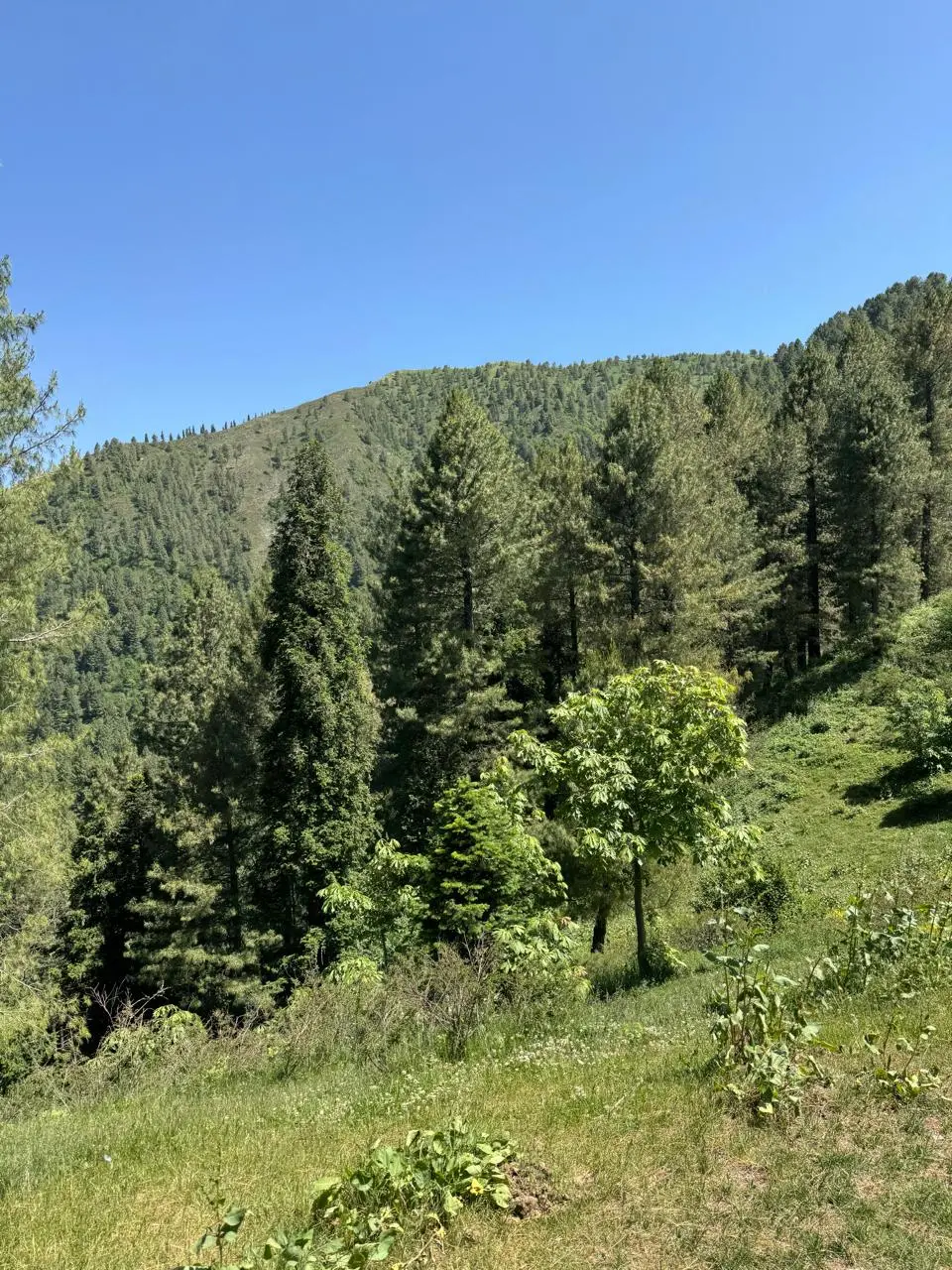
Miranjani Is A beautiful Track On Lower Himalayas or Pir Panjal,
Lower Himalayas include some portions of Naran & Kaghan, Nathia Gali & Murree and part of Kashmir. Since these are less than 10k feet; as we call tree line, therefore are beautiful forested mountains, most common trees beenblue pine, conifers and chestnut trees. Himalayas are spread from Nepal to India to Pakistan and we have share of around 240 kms of Himalayas out of a stretch of more than 2500 kms, while Pakistan carries Southwest Himalayas.
The track to begin is rocky and relatively steep, after half an hour of climb it is gradual going through thick forests. As you gain height relative is 2000 ft the area starts opening. On your right and far is Kashmir I could make out Ganga Choti, in rear Mushkpuri Top and on right valleys of Neila Meri leading to Hazara. Mid-point is a small meadow with a water pond. I found a group of youngster sitting and asking us how much more is left, as if we’re expert but guide told them an hour, without stopping we continued. I was reminded of my young days as a captain when I had lost way in Neelum valley to cross over to kupwara woods with one captain Farooq who left Army to settle in London! The incident had made us famous couple of days when we remained lost mostly on Indian side, it was 1990! The seniors were great to have spared us for our foolishness 😊
I hope to write more on it someday.
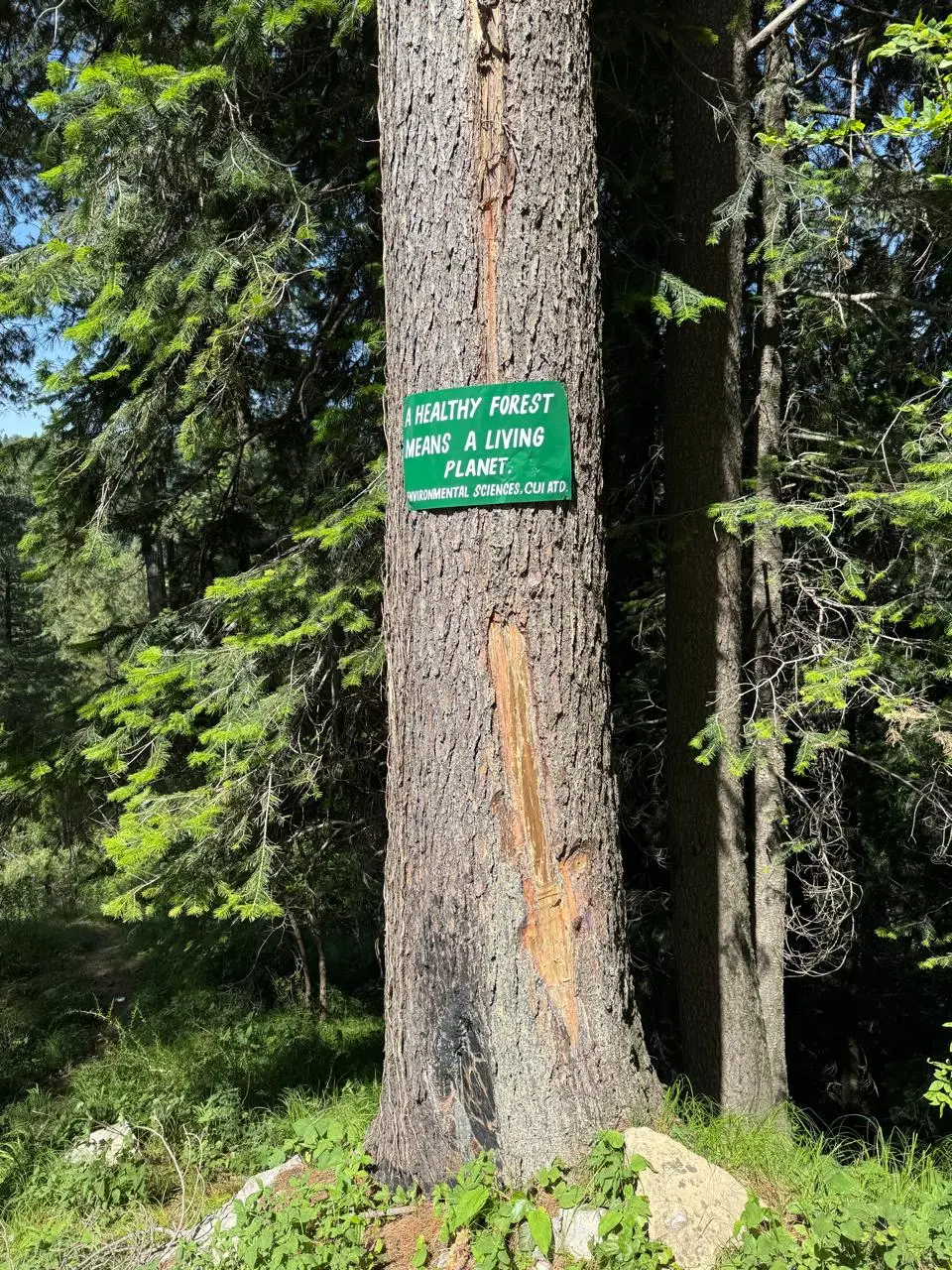
Anyway, from midpoint the climb again starts relatively steep but Miranjani Top is now visible giving you mental strength to carry on. I noticed a lot of birds humming, insects and wild flowers. This is also a biodiversity park and is a heaven for biologists, bird watchers and environmentalists etc. I asked the guide is their some sort of hunting! He said intially locals use to hunt but not now, he quoted two incidents of leopard siting, once when a cow was killed and second when leopard was teasing students in a nearby village on daily basis and was caught by wildlife. He also told that pheasants also exist. We had almost one hour of nonstop climb and it seemed we were getting on the watershed,
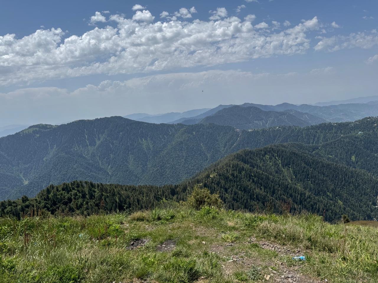
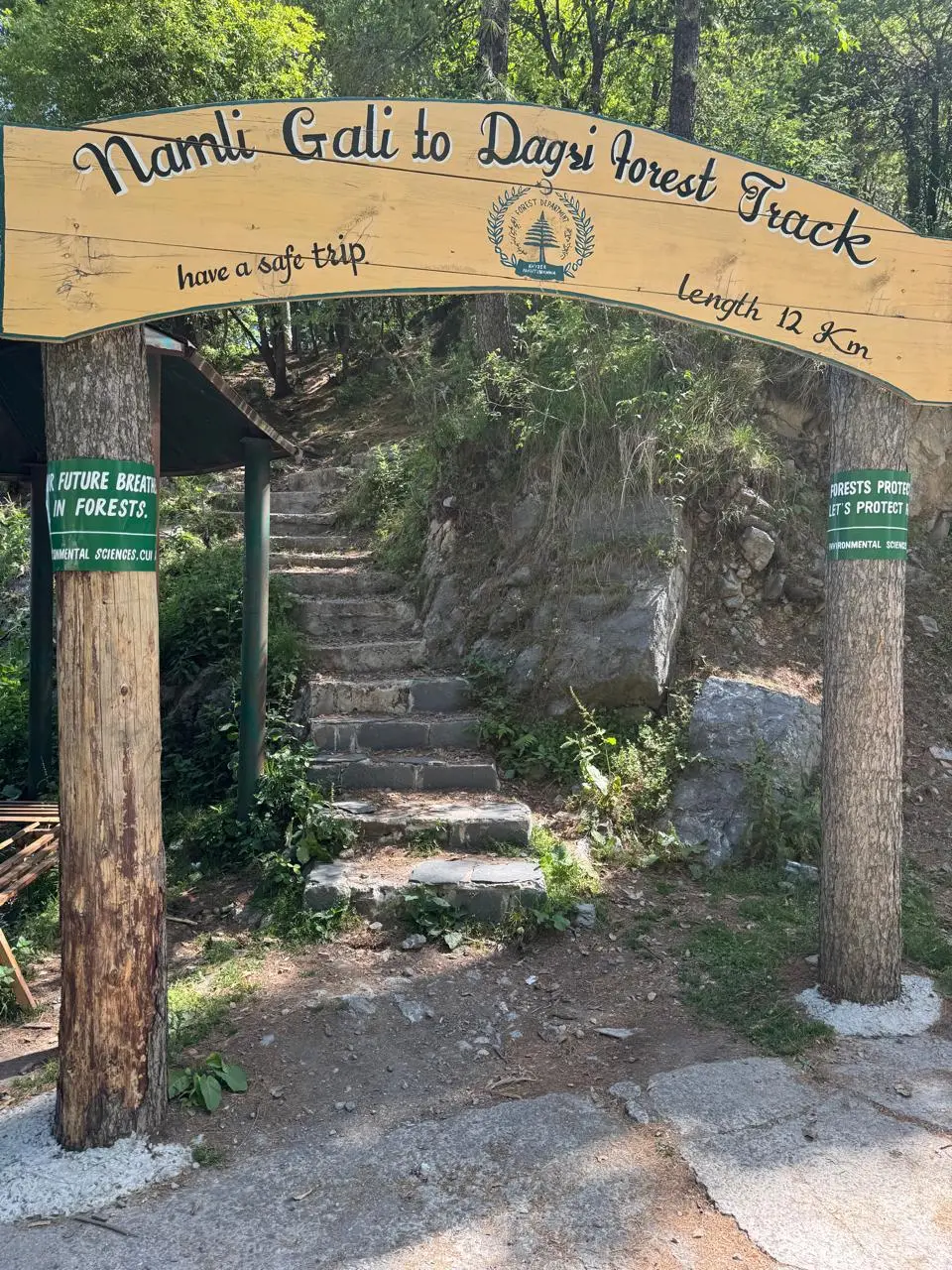
Which was a large meadow, which takes you to top. As we reached water shed the guide pointed us to a track leading to Dagri bungalow an English dak bunglow deep in woods while you cross a huge meadow now visible, it was a beautiful site – clear blue sky, lush green meadows and thick forests. It takes another two hours on a gradual slope to reach dak bungalow. A favorite camping site with trackers which further leads to Thandiani above Abbottabad.
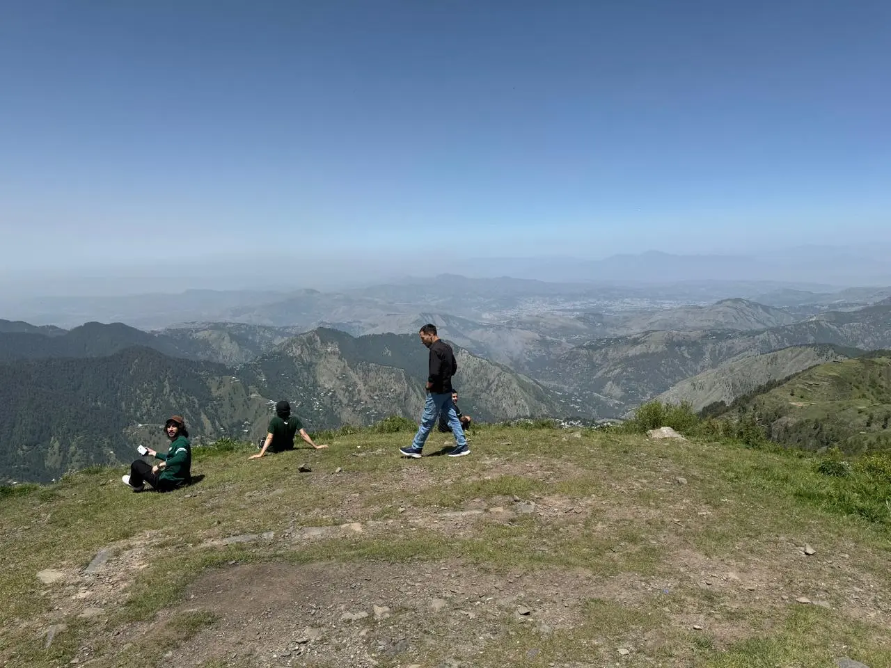
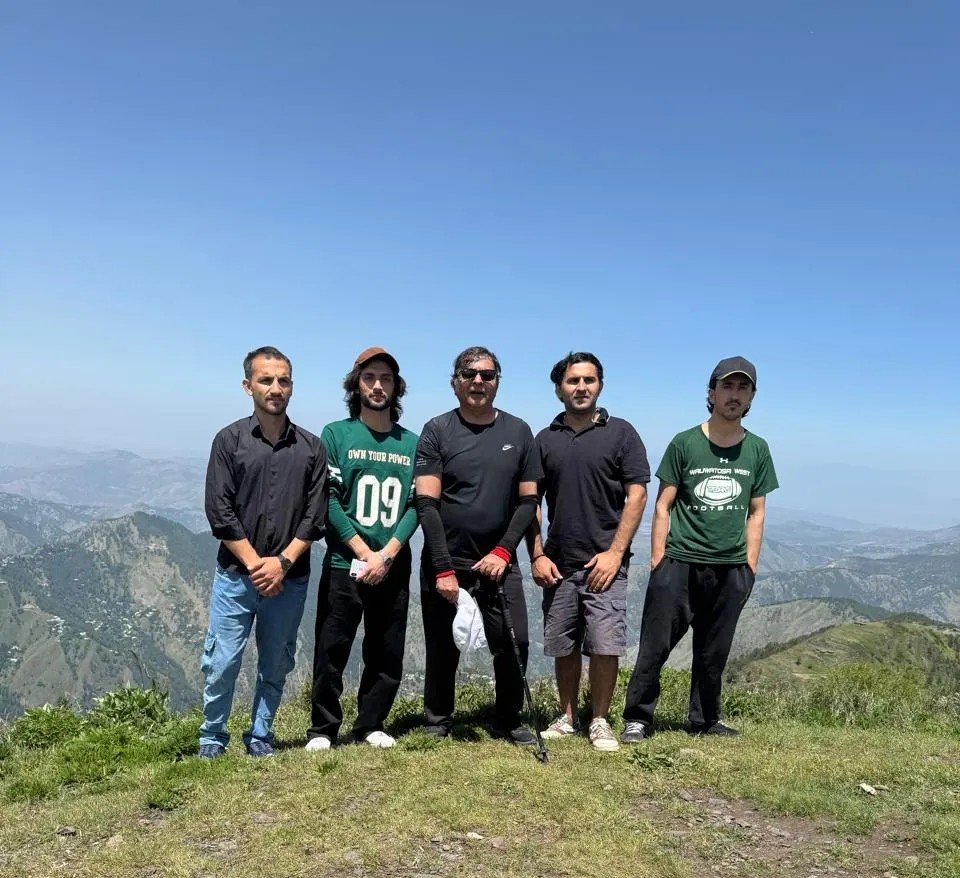
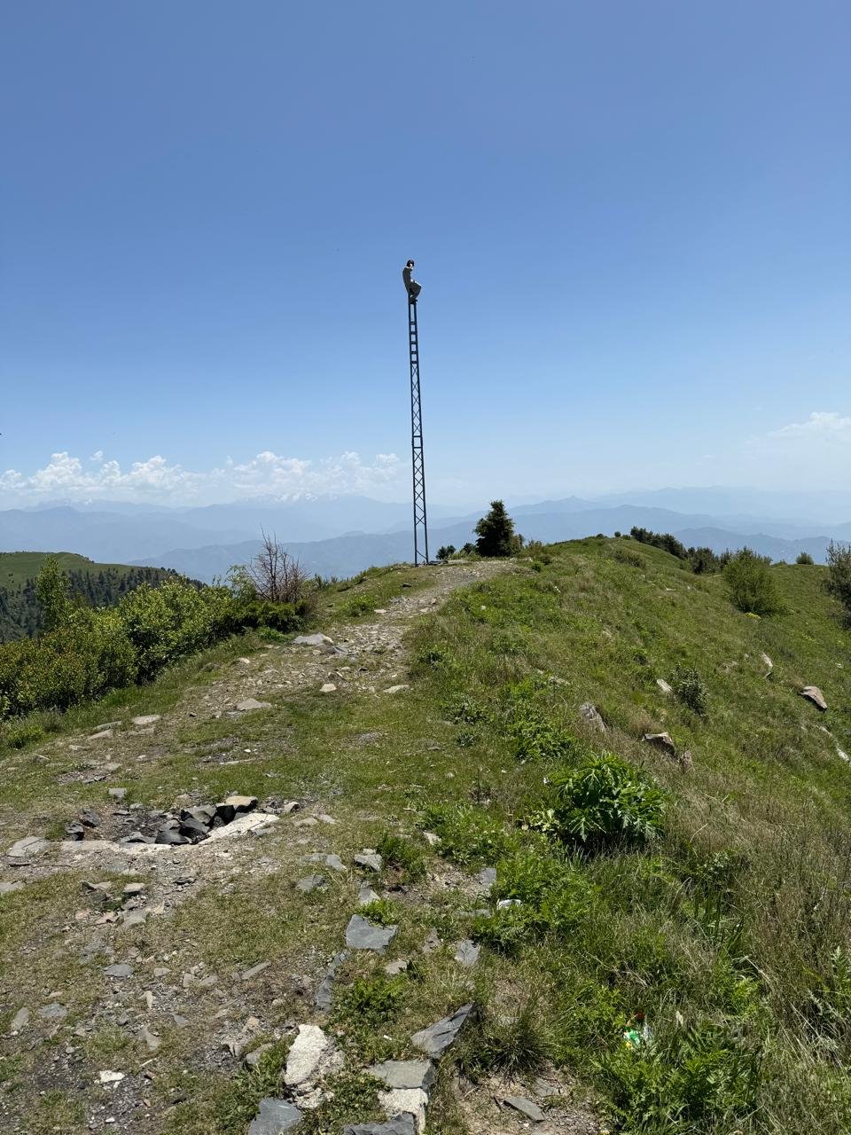
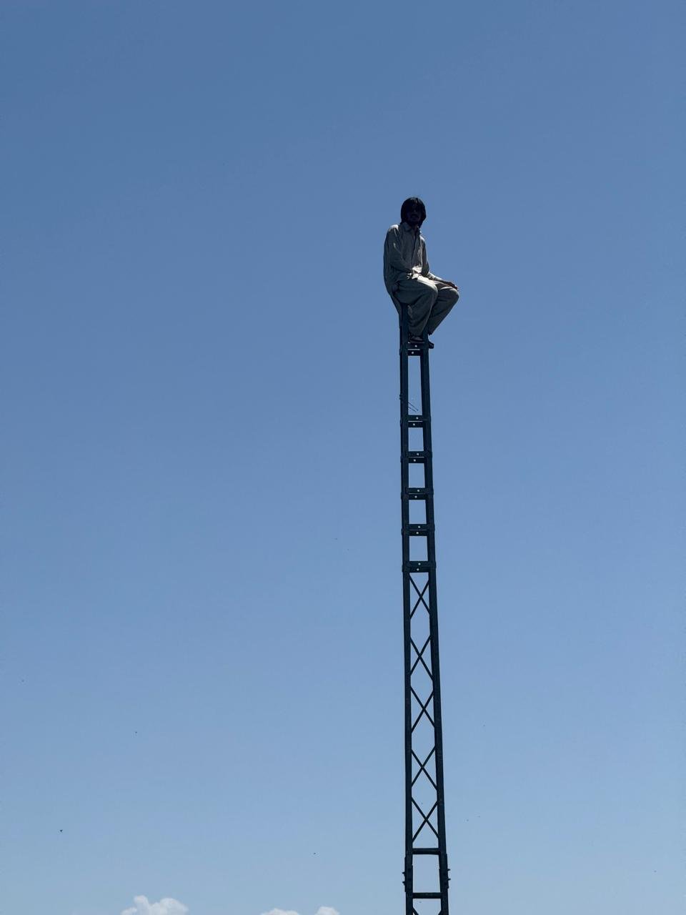
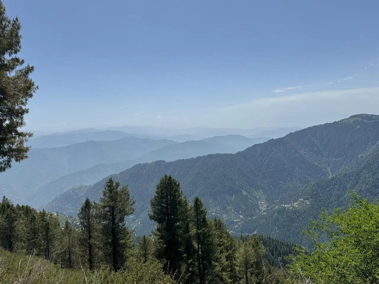
We turned left on the meadows leaving the line of blue pine and chestnut trees moving on the track between lush green shrubs and grass. I was most excited to see on my right on skyline the greater Himalayas and the killer mountain Nanga Parbat which was snow clad, from my experience I could make out where would be Chilas, Astor and fairy meadows ! We were lucky, today was a clear day and line of sight was as far as you could see. On our left Nathia Gali was down below still in woods but buildings raising their heads due to new construction. Double Tree Hilton makes a prominent land mark and so does the governor house. In far distance Murree hills were also visible. I imagined what a scene it would be to observe at night. As we reached the top on a gradual slope found Abbottabad in front, alas this is not the Abbottabad I had known, almost barren and web of construction. I found four young people from same group we met on Wah lying thier. I took the opportunity and explained them around, interacting with them found they were international Afghan students mostly from comsat university, oblivious of situation in Afghanistan and all praises for Pakistan, they were smart and modern in outlook! What has happened to Afghanistan over the years I felt sorry to see these young boys and imagined their peers the girls will be in what condition, without education, having dealt with Afghanistan over long period it always haunts me. They asked water from me, we had an apple and 5 bottles, gave them 4 and later on our way back, another group of two asked for water, gave remaining one and came down without a sip while I could find salt oozing out on fave and shirt! What I want to say is there no water point and one needs to carry own water. We stopped for 12 minutes at top. Suddenly I looked backed and found Ahsan guide had climbed the only pylon in area, it gave me a laughter and goose bumps but you can’t match these mountain people.
I hate decent but we kept moving slowly recollecting our thoughts what next can be done, on our way back met some locals who were taking a cricket bat and a bottle of sprite to play cricket on mountains! I asked where will you play and they said at Dangra Gali meadows 😃 such is popularity of cricket. I also met two young smart boys carrying rukh sack, my hunch they are from military asked them? My guess was right they were from Navy and going up to camp. In return they also asked them who was I, so I told them I am retired and felt so elevated when they praised me, it’s a human nature I think. It took us little less than 3 hours to traverse 11 kms to hit our vehicle. It was a wonderful hike instead of eating meat sitting home, I would propose all to try the trail, its serene and difficultly level is fair and need medium fitness, time you take depends on relative fitness! It’s how you enjoy.